Geospatial Analysis with Python#
You’ll learn how to perform geospatial analysis for location-based decision making, covering:
- Distance Calculation: Compute distances between various store locations and a reference point, such as the Empire State Building.
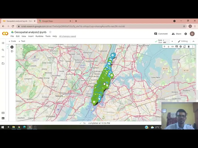
- Data Visualization: Visualize store locations on a map using Python libraries like Folium.
- Store Density Analysis: Determine the number of stores within a specified radius.
- Proximity Analysis: Identify the closest and farthest stores from a specific location.
- Decision Making: Use geospatial data to assess whether opening a new store is feasible based on existing store distribution.
Here are links used in the video:
- Jupyter Notebook
- Learn about the
pandaspackage and video - Learn about the
numpypackage and video - Learn about the
foliumpackage and video - Learn about the
geopypackage and video