Geospatial Analysis with QGIS#
You’ll learn how to use QGIS for geographic data processing, covering:
- Shapefiles and KML Files: Create and manage shapefiles and KML files for storing and analyzing geographic information.
- Downloading QGIS: Install QGIS on different operating systems and familiarize yourself with its interface.
- Geospatial Data: Access and utilize shapefiles from sources like Diva-GIS and integrate them into QGIS projects.
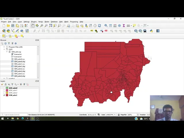
- Creating Custom Shapefiles: Learn how to create custom shapefiles when existing ones are unavailable, including creating a shapefile for South Sudan.
- Editing and Visualization: Use QGIS tools to edit shapefiles, add attributes, and visualize geographic data with various styling and labeling options.
- Exporting Data: Export shapefiles or KML files for use in other applications, such as Google Earth.
Here are links used in the video: